Exploring the Web Soil Survey
Exploring the Web Soil Survey.
Despite working in the environmental field for some time, my experience with soil science is limited. As such, the information available within the survey can be a bit overwhelming. A scan of the soil types confirms the dominance of sandy loams and loamy sands - not surprising for this portion of the Virginia coastal plain. The available descriptions within each map unit name is helpful, though the significance of the information is a bit lost on the novice user.
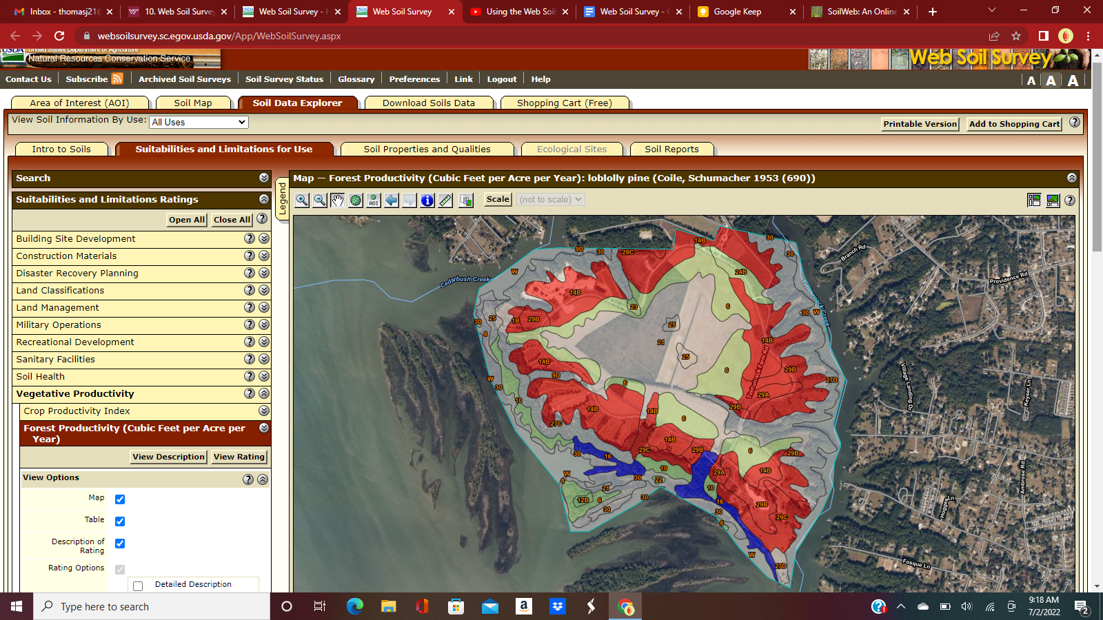
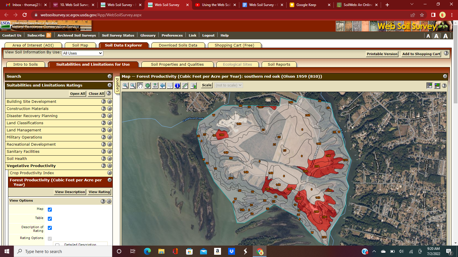
As I reviewed the soil data explorer, I found it necessary to remind myself that these metrics are based on the soil type rather than actual measurements of that particular area of interest. For example, the forest productivity is based on unmanaged timber within that soil type, not a direct measurement of the forest in that area. Still, in terms of long term management of an area, these metrics provide an interesting understanding of the potential of the area in terms of the capacity of the soil (see screenshots below). Thus, we can avoid long term management goals that are inconsistent with the ability of the soil to support particular vegetation.
In my area of interest, soil capacity varies sharply as the land merges with the water - the characteristics of the saline soils differ greatly from their neighboring soils at a higher elevation. The flood frequency by class was particularly interesting to explore (see screenshot below). Again, this is not a flood map by elevation, but rather a reflection of soil characteristics that develop under frequent flooding. One might expect the chemistry, biology, and species of these soils to differ greatly from neighboring soils and may deserve special management considerations.
The UC Davis interface is a nice partner website for soil data. The interface is cleaner, though less robust than the Web Soil Survey. The UC Davis interface allows the user to toggle between data easily and has appealing visual components. While a number of descriptors are available within the interface, it is still heavy with technical terms that the novice user may find intimidating.
Area of Interest: Machicomoco State Park

Soil Map

Forest Productivity: Loblolly Pine

Forest Productivity: Red Oak

Flooding frequency by class


Comments
Post a Comment